A clearer picture of who’s nearby.
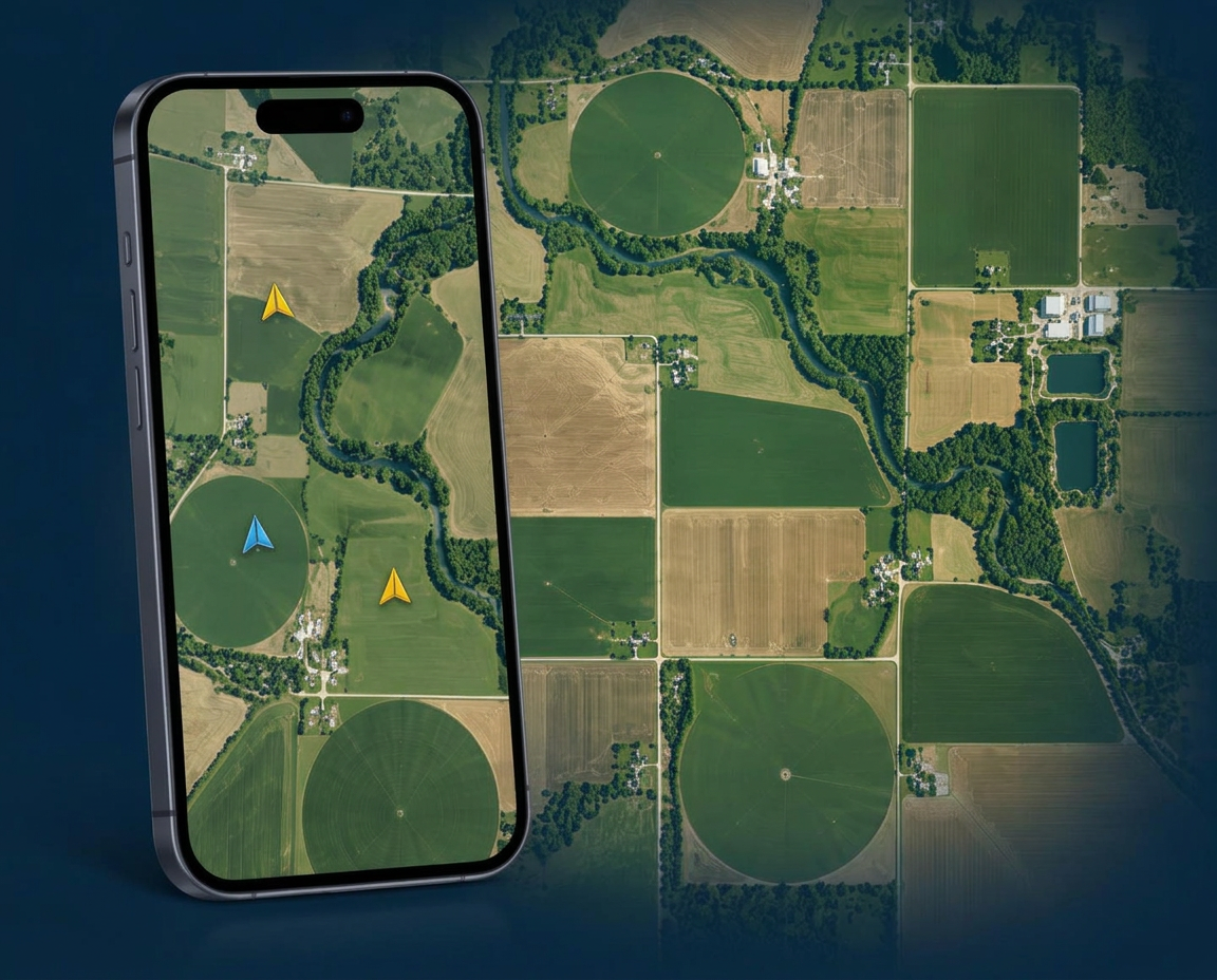
Voluro is being developed for agricultural aviation—to help pilots see nearby participating aircraft and give operators a shared view of their own fleet.
Currently in development. Sign up to express interest in future field testing.
Safety statement
Voluro is being developed as a supplemental awareness tool. It will not show every aircraft. Cellular coverage, GPS accuracy, and delayed or missing updates can affect the information displayed. It does not provide traffic separation or replace a pilot’s responsibility to see and avoid.
What we’re building
Our initial focus is nearby aircraft awareness and operator fleet visibility.
Nearby aircraft
A shared map of nearby participating aircraft.
Your fleet
An operator view identifying their own participating aircraft and pilots.
Anonymous participation
Other operators' aircraft shown without pilot names, tail numbers, or company names.
Why I’m building Voluro
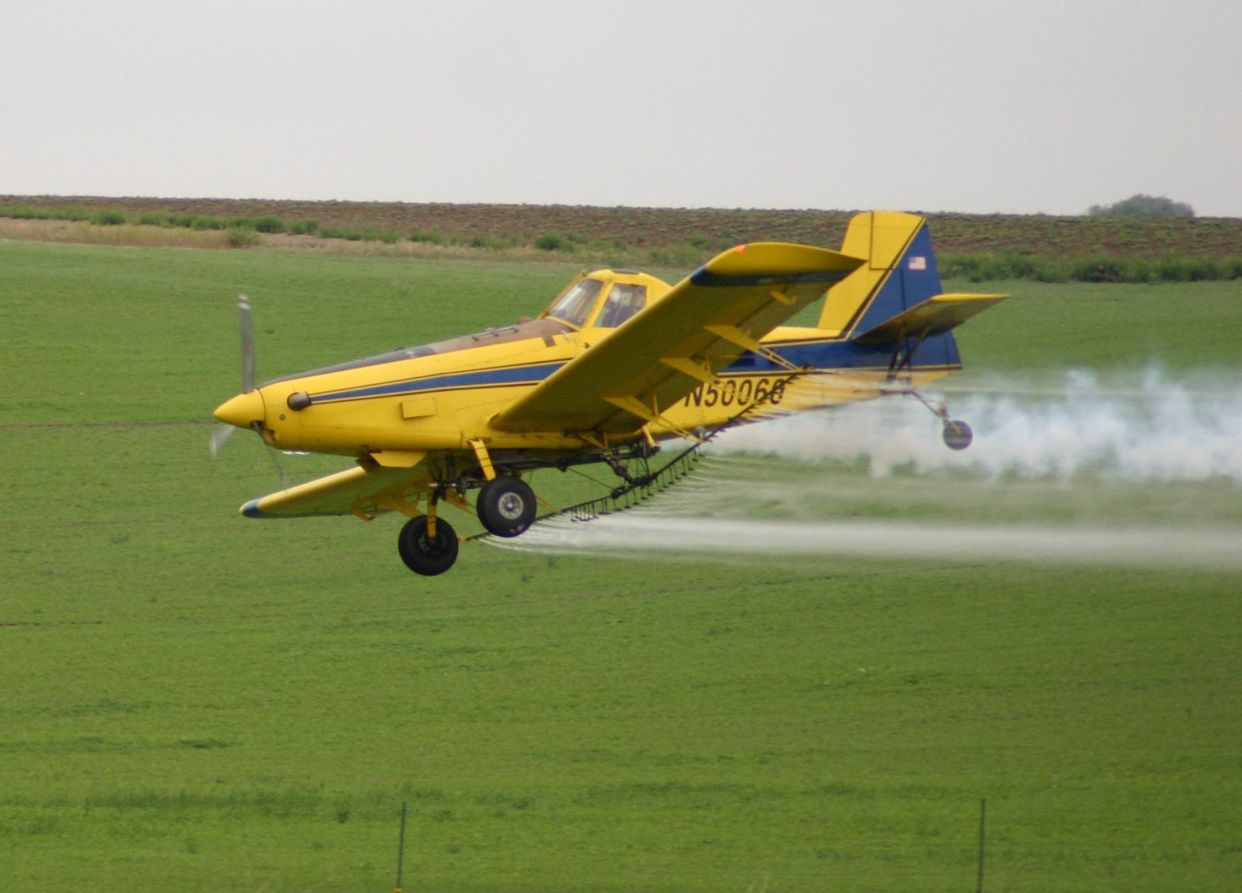
I’m Cole Correia, and I’ve spent the past 10 years flying agricultural airplanes in Northern California’s busy rice country. I know firsthand how demanding this work can be and how important it is to know what’s happening around you.
I’m creating Voluro because I want to help make our industry safer. My goal is to give ag pilots another way to see nearby participating aircraft and help operators stay connected to their fleet. It’s a tool I want in my own cockpit, built with the hope of helping all of us get home safely.
Cole Correia
Founder & Agricultural Pilot
For pilots
In the cockpit:
- Your position and nearby participating aircraft on one map.
- Large, high-contrast markers made to read in sunlight.
- Runs on your phone, alongside the equipment you already use.
For operators
From the office or truck:
- See where your aircraft are without a phone call.
- Know which pilot is in which plane.
- Add and remove aircraft as your season changes.
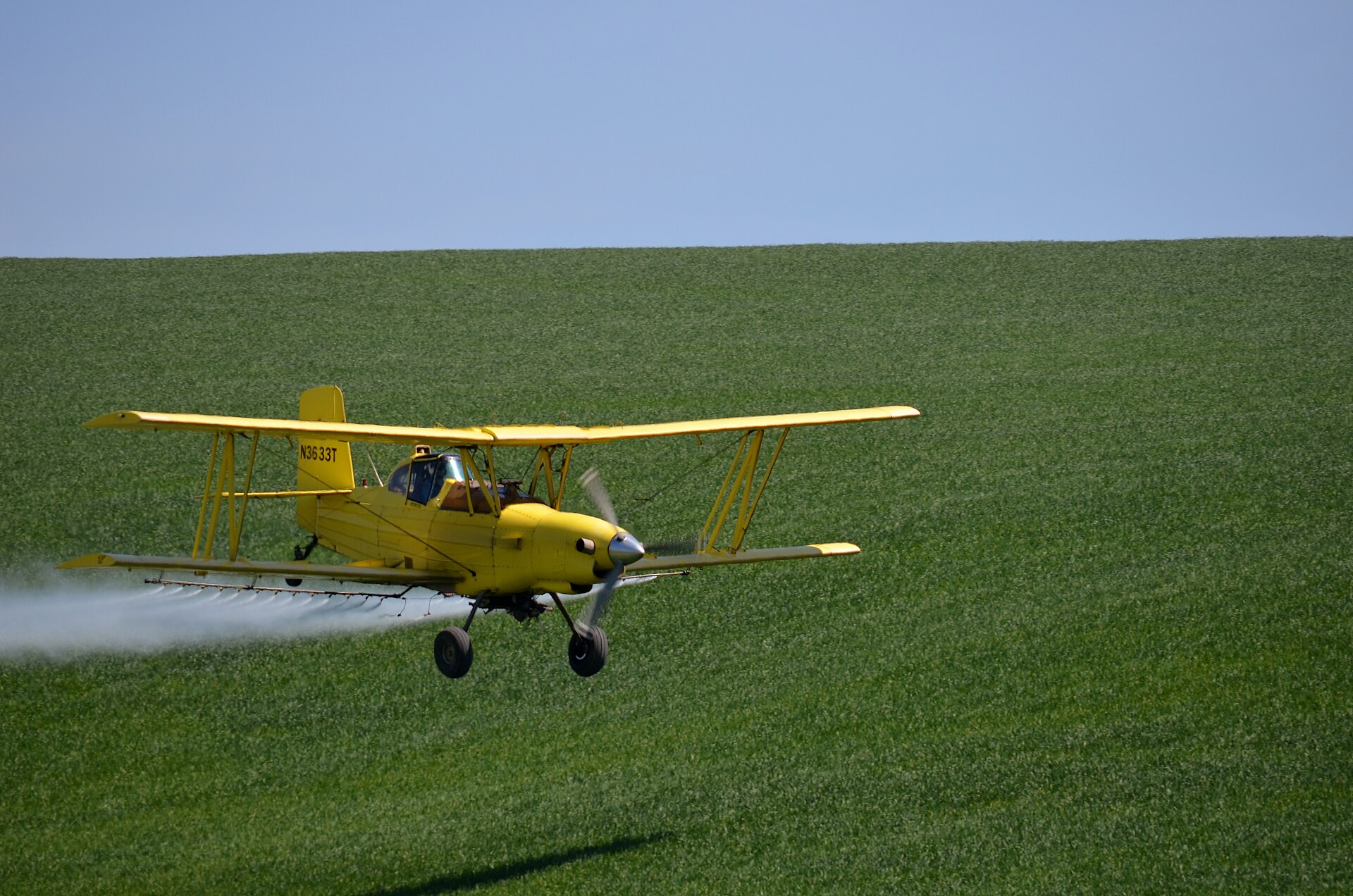 Photo: Carolyn Parsons / Wikimedia
Privacy
Who can see what
Voluro is being designed so operators can identify their own fleet, while other participating aircraft appear without pilot names, tail numbers, or company names.
Details of data handling are still being worked out, and this page will be updated as they're settled.
Current status
Built for testing in real operating conditions
Voluro is in development. Field testing will focus on what matters most in a working ag plane:
Background location updates
Whether a phone reliably keeps sending position while the screen is off, in a hot cockpit, on a long day.
Cellular performance
How the map behaves on weak or dropping coverage down low, and how stale a position can get before it's worth ignoring.
Real workload
Whether any of it is usable at working altitude and speed, or just one more thing to look at.
That's what the beta is for.
Questions
Who is Voluro for?
Ag pilots flying application work, and the operators who run those aircraft. It is not being built as a general aviation traffic app.
Does it use ADS-B?
No. Voluro is separate from ADS-B. It works from position updates shared by participating phones or devices, and it does not replace ADS-B, radios, scanning, or any other aviation equipment.
What aircraft might be missing from the view?
Any aircraft that is not participating will not appear. Participating aircraft can also be missing or delayed where cellular coverage is poor, GPS is degraded, a device is off, or an update hasn't arrived yet.
When will it be available?
There is no release date yet. The app is in development and testing. The beta interest list is how we'll contact people when field testing opens.
Beta interest
Tell us you'd like to test it
No commitment. We'll reach out when testing opens in your area.